CREATE
LandTech partnered with Gannett Fleming for the design and construction for the new Crum Creek Pump Station. A design BIM model was created to a LOD 300 for use in construction and to enable a more efficient design process. LandTech performed a terrestrial LIDAR Survey after construction was completed to capture the existing conditions of the facility for as-built documentation. The goals for the LIDAR survey were to compare the existing conditions of the facility to the design model and update the as-built documentation in both CAD and BIM formats.
INNOVATE
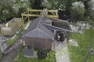
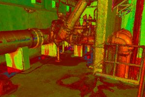
LandTech completed the LIDAR scan and processed the data into a georeferenced point cloud using controls set during the survey. LandTech then used a processing tool to compare the point cloud to the design BIM to produce a full report, highlighting which elements were built within the 1” tolerance, and which elements were not. The design BIM was converted to an accurate, as-built BIM model, and 2D CAD plans were developed for additional documentation.
INTEGRATE

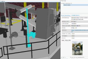
The benefits of performing the post-construction LIDAR survey were many, including a quick and extremely accurate methodology to capture the existing conditions. The point cloud served as the foundation for efficiently updating to an as-built BIM as well as easily extracting the information for the CAD plan. Gannett Fleming is looking to integrate the BIM model with GIS to create a digital twin that will enhance their asset management and field operations.
Download Crum Creek Pump Station Case Study PDF


