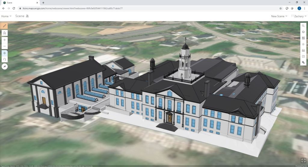
BIM-GIS integration is the newest development in GIS. By utilizing existing conditions data obtained from a variety of resources, LandTech can create accurate 3D models of existing or proposed infrastructure and provide easy-to-use 3D maps for integration with your existing GIS platform. By creating a fully attributed “digital twin” of your infrastructure and assets, data can be displayed in your current GIS and accessed by both field and office technicians opening up an array of new possibilities for viewing and analyzing your data.
Use Case Example: Prior to BIM-GIS integration, field and office technicians would need to search through old plan sheets, documents, or perform a site visit to determine what was needed to replace a valve or perform other maintenance activities. Utilizing BIM-GIS integration, field and office technicians have the capability to search for the specific valve, visualize the asset and associated attributes as if they were in the room.
Examples of BIM-GIS integration:
– 3D modeling of a water treatment plant in support of asset management
– Modeling of existing and proposed features to view and analyze potential impacts
– Modeling of exterior and interior assets to facilitate emergency response operations
– BIM-GIS integration in support of facility and operational management


