


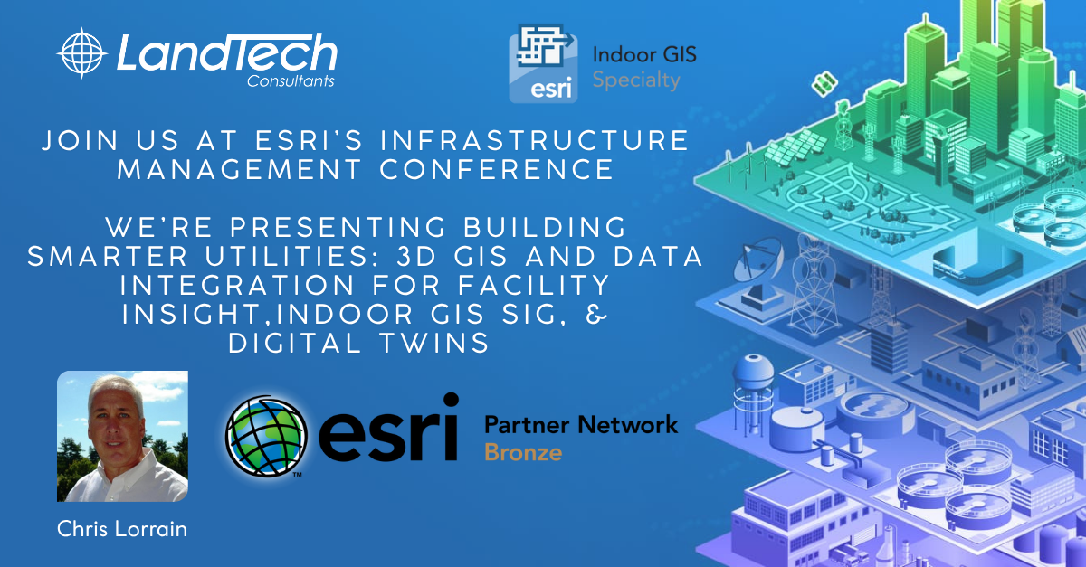
LandTech Consultants President Christopher Lorrain, P.E. will join leading utility experts to share how LandTech is helping organizations harness the power of 3D GIS and digital integration at the Esri Infrastructure Management & GIS Conference (IMGIS) in Palm Springs, CA.
📍 Tuesday, Oct 28, 2:15–3:15 PM PDT
Session: Building Smarter Utilities: 3D GIS and Data Integration for Facility Insight
Pennichuck Water and LandTech explored how 3D GIS, laser scanning, and system integration enhance visibility, coordination, and decision-making. By linking spatial models with operational systems, they created scalable digital tools—like web apps and dashboards—that improve utility management.
📍 Tuesday, Oct 28, 3:30–4:30 PM PDT
Session: Facility & Vertical Asset Management Using ArcGIS Indoors and 3D Modeling
American Water launched a pilot project with LandTech Consultants to explore how a COTS-based GIS solution, grounded in ArcGIS Indoors, can modernize vertical asset management and serve as the foundation of a long-term enterprise solution.
If you’re attending, let’s connect!