


 Intersections, roadways and highways can all be scanned with minimal impact to traffic flow, increasing safety and reducing the need for traffic details.
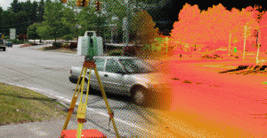
Edge of pavement, top and bottom of curb, paint lines, catch basins and manholes, signage and street lights are quickly obtained. Additionally, height of overhead utility lines, traffic lights and tree canopy are all captured in the scan, accurately and quickly. Retaining walls, dams, sluiceways, drainage facilities and the like can all be documented with incredible precision at safe locations and much faster than conventional methods.