


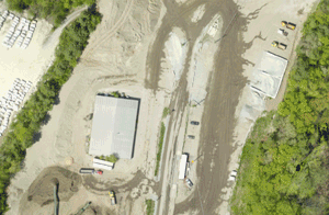
 We capture high-resolution aerial image data with confidence in our precision and accuracy by pre-planning our missions and field checking for accuracy while on-site.
We reduce the need for control points by using direct geo-referencing, advanced aerial triangulation, and photogrammetry software such as Pix4D and Autodesk Recap360.
In most cases, we are able to mobilize, setup, collect data and process UAV data within 24 – 48 hours.